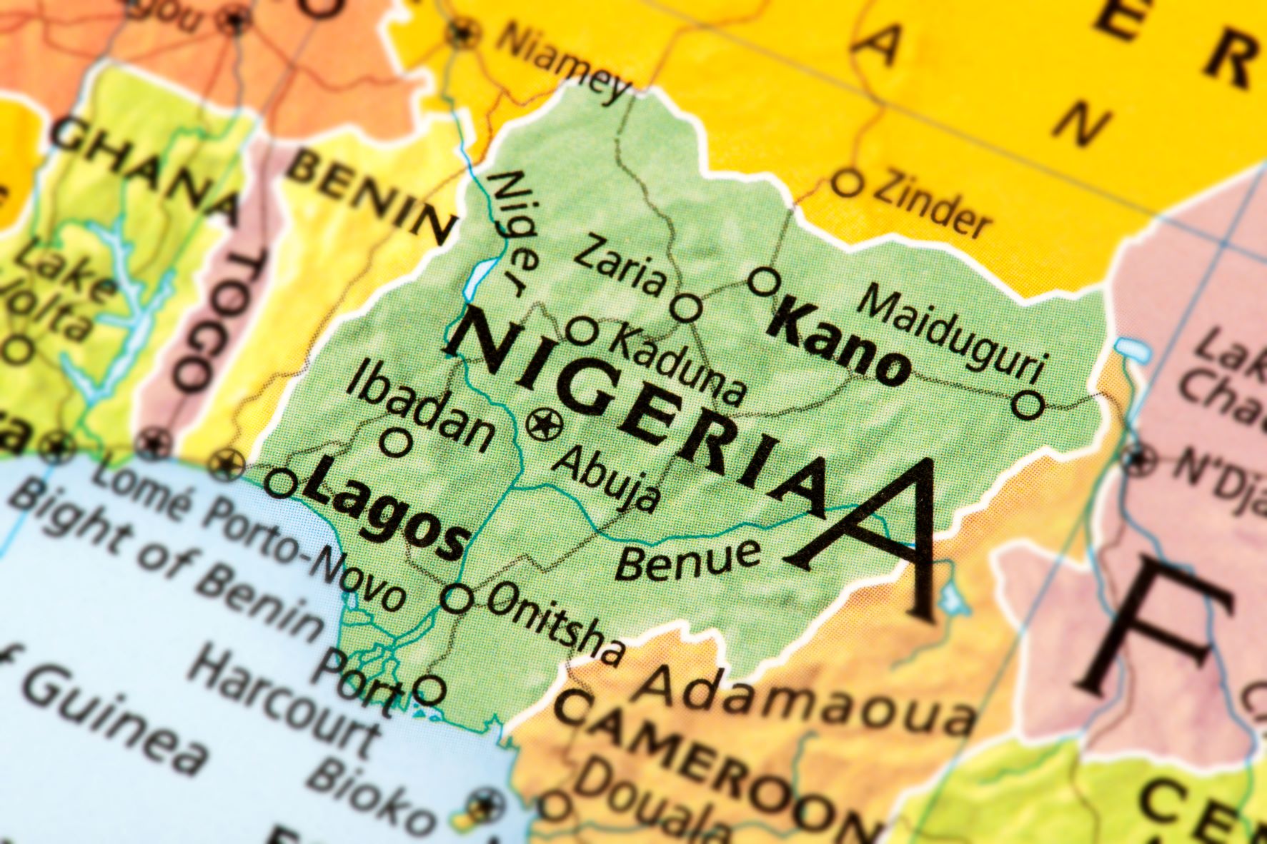
This article is the continuation of a previous article outlining the different geo-political zones in Nigeria and the landmass/ size. The previous article as well as this aims to briefly summarize the comparative sizes of these two zones: with the North being four times the size of the South. In this part 2, the article will continue outlining the northern states, giving a brief background.
Read more about Discover Nigeria
- Borno: The state is located in the North-East part of Nigeria. It covers the territory of around 5779 square kilometres. Borno is on the list of the richest states in Nigeria. The total GDP of the region is $5.18 billion, per capita is $1.214. The total population is around 6,000,000 people. The dominant ethnic group in the state is the Kanuri people.
- Bauchi: Residents of Bauchi State enjoy their peace and safety at their maximum. It is located next to Yobe and Gombe. Surprisingly, it is one of the Northeastern states that haven’t experienced the problem of Boko Haram or Fulani herdsmen.
- Kogi: Kogi which is also one of the Northcentral states in Nigeria was created from a portion of eastern Kwara and western Benue states. Kogi state was created on the 27th of August, 1991 and its capital is Lokoja. The same statehouses Ajaokuta Steel Company Limited and River Niger. The Kogi state connects the Federal Capital Territory to 22 southern states. In the state, telecommunication services are also well developed. Now several ethnic groups, including Yoruba, Ebira and Igala live in the state.
- Kwara: Kwara belongs to one of the North Central states in Nigeria, commonly referred to as the Middle Belt. Its capital is Ilorin where we have the prestigious University of Ilorin. The primary ethnic group is Yoruba, with significant Nupe, Bariba, and Fulani minorities. Agriculture is the main source of the economy and the principal cash crops are cotton, cocoa, coffee, kolanut, tobacco, beniseed and palm produce. Mineral resources in the state are Gold, limestone, marble, feldspar, clay, kaolin, quartz and granite rocks. Kwara state was created in 1967 when the Federal Military Government changed the division of the state into 12 regions. The state was created from the former provinces Ilorin and Kabba of the Northern Region and was originally called the West Central state, but was later renamed into Kwara state.
Sign up to the Connect Nigeria daily newsletter
- Nasarawa: Nasarawa is one of the north-central states in Nigeria. It was created from the old Plateau state on the 1st of October, 1996 during the Abacha Sani regime and its capital is Lafia. Nasarawa state is home to the Federal University of Lafia, Farin Ruwa falls is reputed to be one of the highest falls in Africa. The salt village, where there is natural iodized salt, is also located in Nasarawa state. Speaking of minerals in this state, the state is blessed with tin, coal, Marble and semiprecious stones. In Nasarawa state, there are also lots of unused energy resources, which thereby lead to the state being called the Home of Solid Minerals.
- Taraba: Taraba is a state in North-Eastern Nigeria, named after the Taraba River which traverses the southern part of the state. Taraba’s capital is Jalingo. It was created in 1991 from the southwestern half of former Gongola. Taraba is bordered on the north by Bauchi and Gombe states, on the east by Adamawa state, on the south by Cameroon, and on the west by Benue, Nassarawa, and Plateau states.
- Yobe: Yobe is a state located in Northeast Nigeria. A mainly agricultural state, it was created on August 27, 1991. Yobe state was carved out of Borno State. The capital of Yobe State is Damaturu. A notable place in this state is Yobe State University.
- Plateau: Plateau is also part of the north-central states in Nigeria. The total area of the state covers around 3,178 square kilometres. This state is a paradise for tourists. There are plenty of sights to visit in this state, like the Wildlife Safari Park, the National Museum in Jos, the Museum of Traditional Nigerian Architecture, Jos Zoo, Kurra Falls, Wase Rock, the Kerang highlands. Plateau state has the highest number of 22 recorded mineral resources which is definitely a gift of nature that contributes to Nigeria’s wealth.
- Gombe: Gombe, usually referred to as Gombe State to distinguish it from the city of Gombe, is located in the northeastern part of Nigeria. Gombe is the capital of Gombe. Gombe state was drawn out of Bauchi State on the 1st of October, 1996. It is one of the least populated states in Nigeria.
Featured image source: National Hog Farmer
Got a suggestion? Contact us: [email protected]


