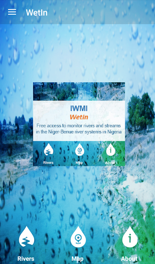
Nigeria’s Ministry of Agriculture has launched a smartphone app which should aid flood detection efforts in the country. The “WetIn App” is designed specifically to monitor the development of floods especially along the Niger and Benue Rivers. Reports from the Ministry suggest that the project, which was executed in partnership with the International Water Management Institute (IWMI), was embarked upon following the floods of 2012 which devastated large swaths of farmland across the country and pushed several communities on the brink of starvation.
Dr. Shehu Ahmed, Permanent Secretary of the Ministry of Agriculture, referring to the disaster which took place four years ago, said that the collaboration with the IWMI for developing the app was sought after the floods had wiped out farms, homes, and lives. Dr. Ahmed, who was represented at the launch of the app in Abuja by the Director of Agricultural Businesses, Processing and Marketing, said that Nigeria had risen above the painful loss and turned the difficult situation into an opportunity to provide technology-driven solutions to the problems faced by the Agricultural Sector.
The IWMI’s Regional Director, Professor Timothy Olalekan Williams, noted that the data used in developing the app was obtained from the Nigerian Hydrological Service Agency, the Nigerian Meterological Agency, and satellites in space.
In 2012, widespread damage was caused by floods which were described as the worst in 40 years. Most experts say that the destruction would not have been as bad if adequate warning systems were in place at the time. The Wetin App should serve as a small but not insignificant part of the multi-dimensional system required to mitigate the effects of such disasters in the future.


